Geospatial Visualizations
Where remote sensing meets art. Click through the slideshow and check out the videos below.
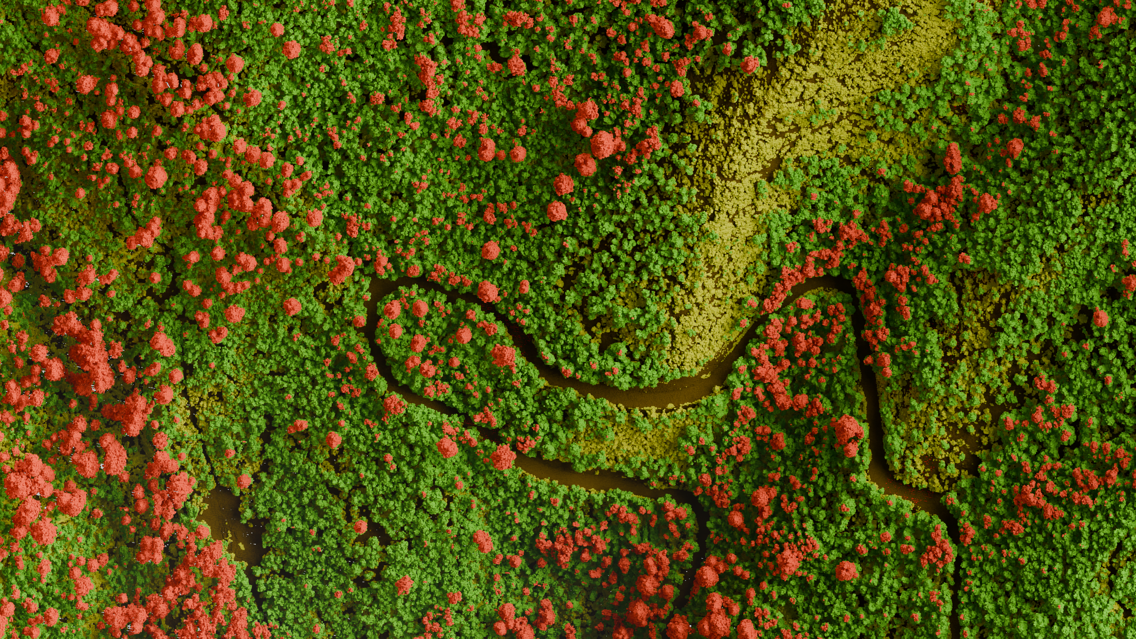
Forestry
Classified LiDAR point cloud of the forest canopy colorized by vegetation height bins
Showcases
Bryce Canyon LiDAR — cinematic pass
A short render of the sun rising and setting over Bryce Canyon National Park in Utah.
SFM point cloud from historical aerials
High resolution structure from motion point cloud produced from 1980s aerial imagery over Saipan, Northern Mariana Islands.