Projects
Click a project to read more.
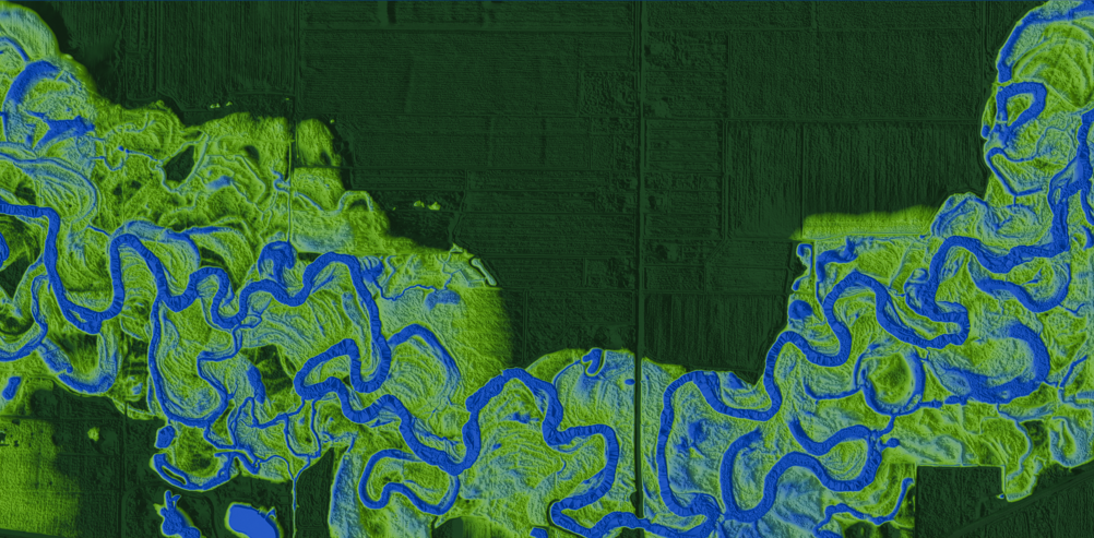
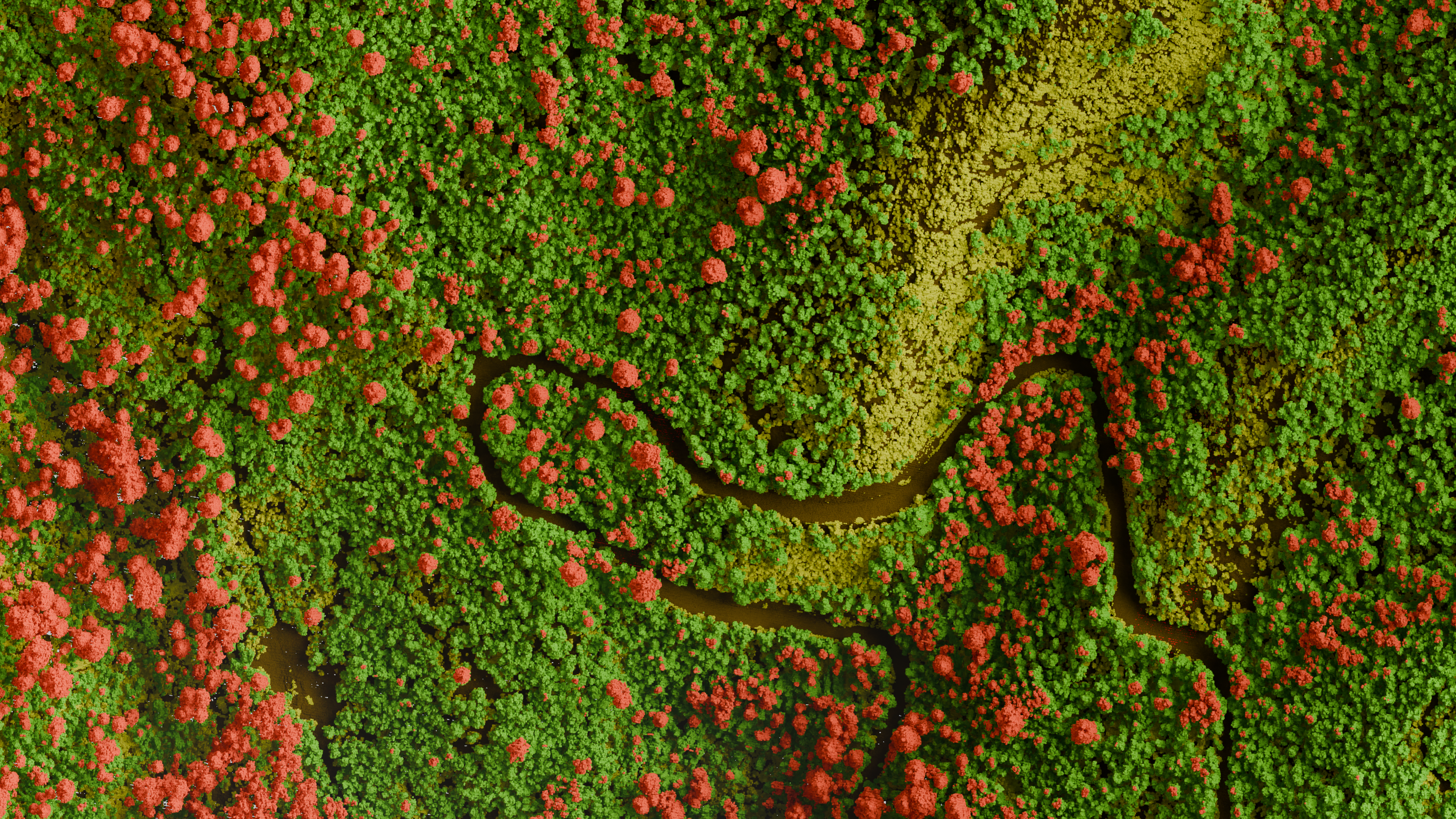
Elevation-Derived Hydrography
Derivation of high resolution hydrologic networks.
Python LiDAR USGS
Read more →
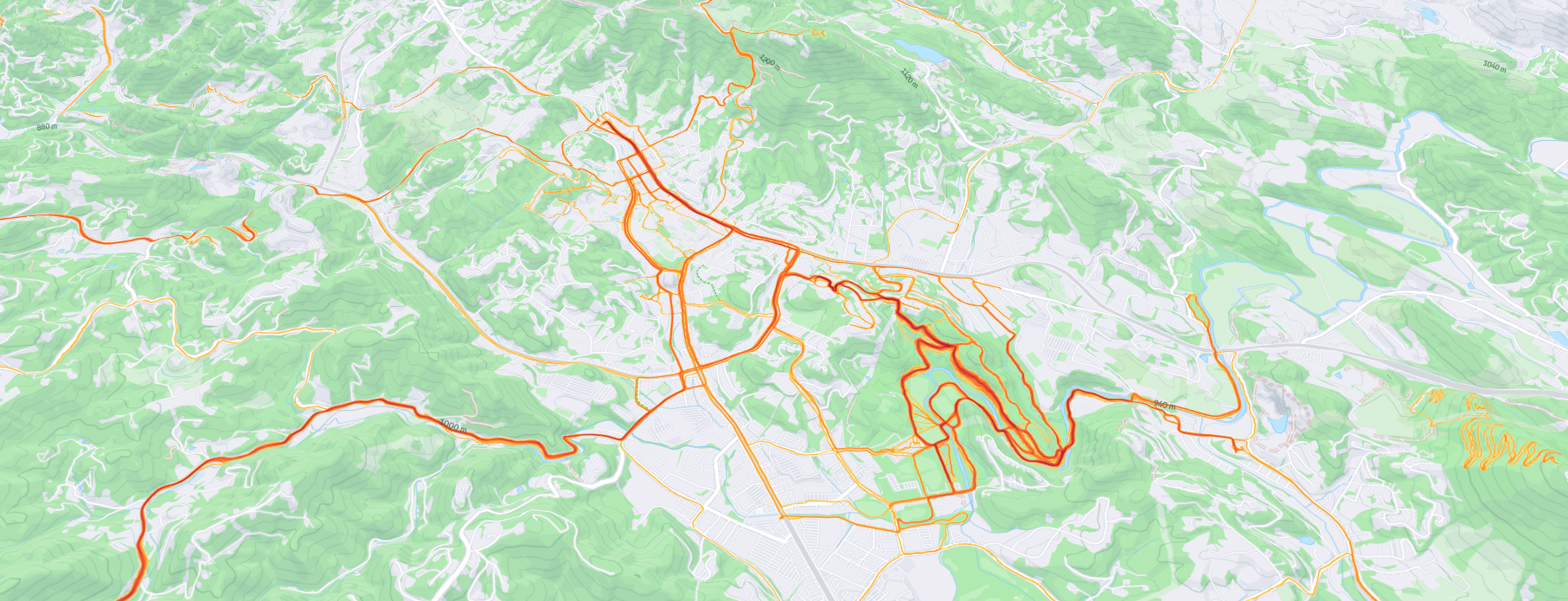
Strava Activities Map
A visual representation of all my recorded activities on Strava, showcasing the extent of my explorations.
Mapbox Strava
Read more →
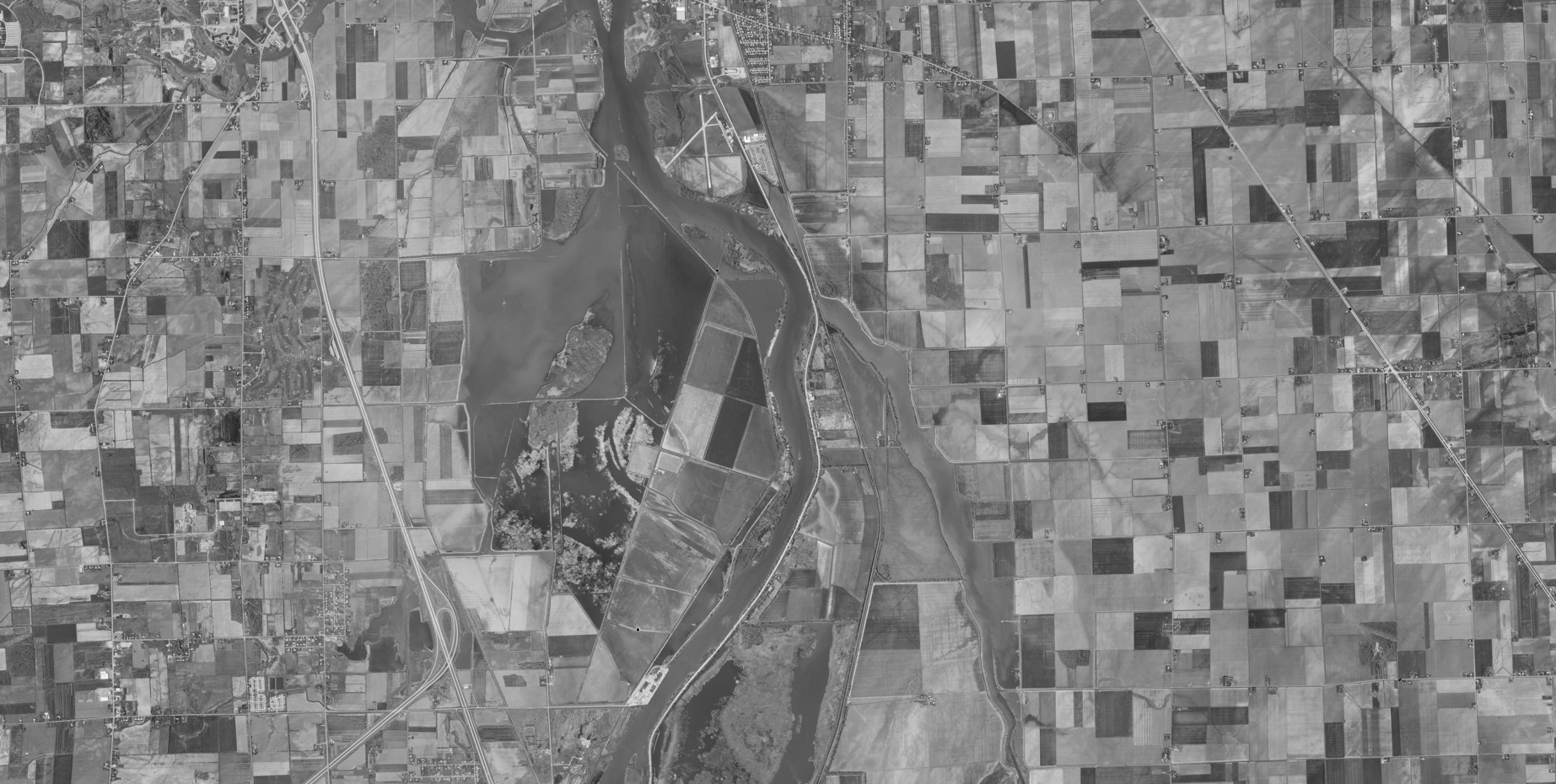
Historical Aerial Imagery
Orthorectification and analysis of historical aerial imagery.
Photogrammetry Historical Orthorectification
Read more →
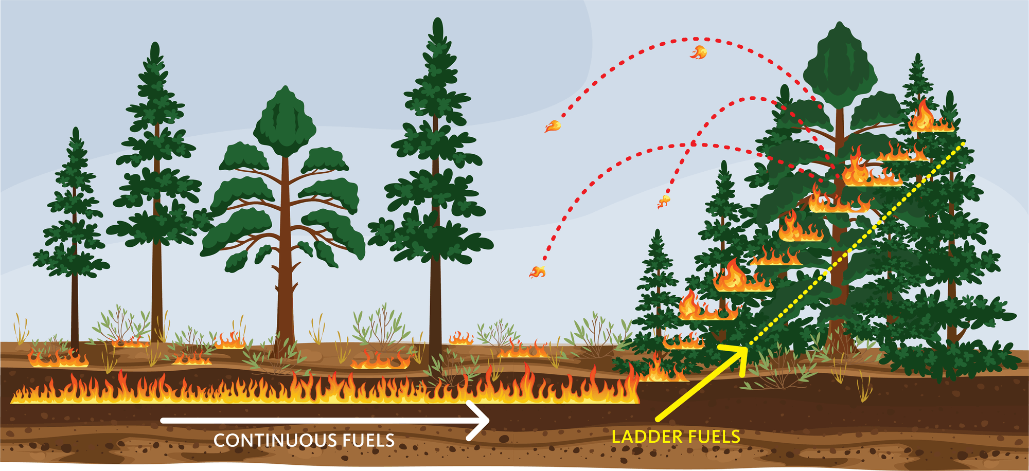
Yosemite Wildfire Research Support
Supporting wildfire research in Yosemite National Park.
Satellite Imagery Google Earth Engine Spectral Indices Javascript
Read more →
Geospatial Visualizations
Making compelling visual narratives with geospatial data.
Blender Graphic Design Python
Read more →